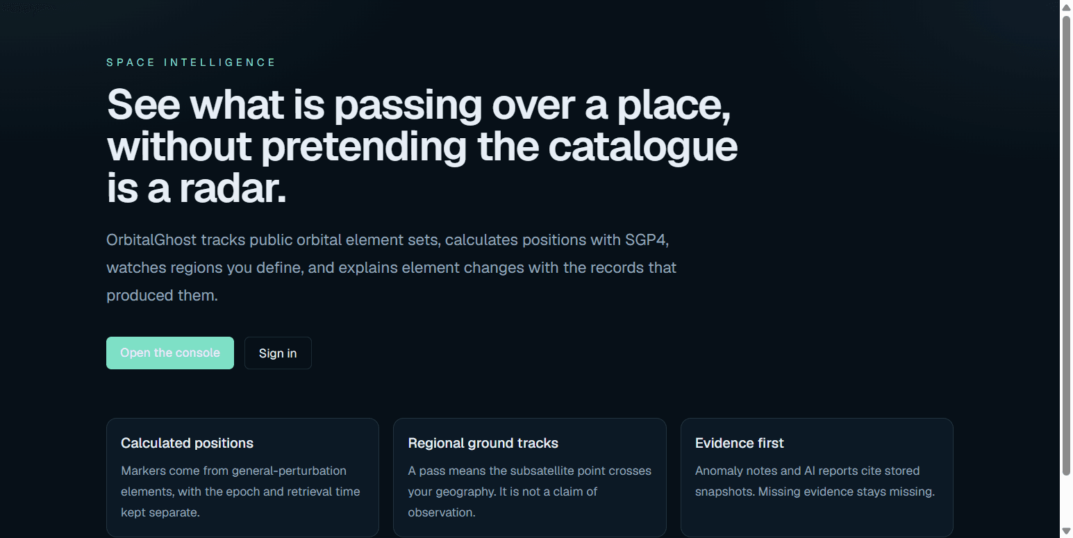
SPACE INTELLIGENCE
See what is passing over a place, without pretending the catalogue is a radar.
OrbitalGhost tracks public orbital element sets, calculates positions with SGP4, watches regions you define, and explains element changes with the records that produced them.
Calculated positions
Markers come from general-perturbation elements, with the epoch and retrieval time kept separate.
Regional ground tracks
A pass means the subsatellite point crosses your geography. It is not a claim of observation.
Evidence first
Anomaly notes and AI reports cite stored snapshots. Missing evidence stays missing.
Interface
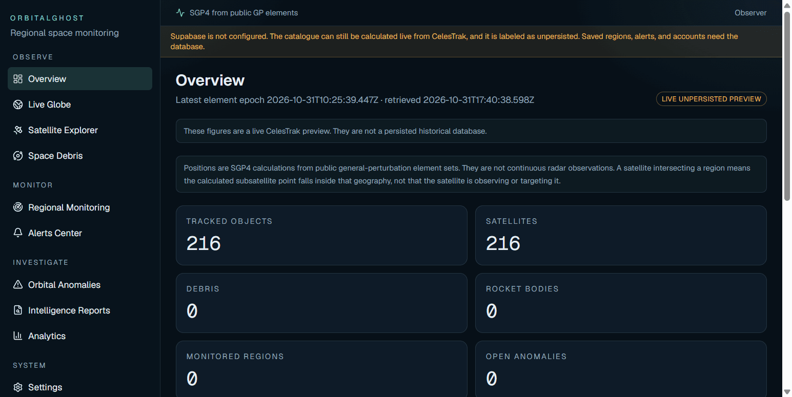
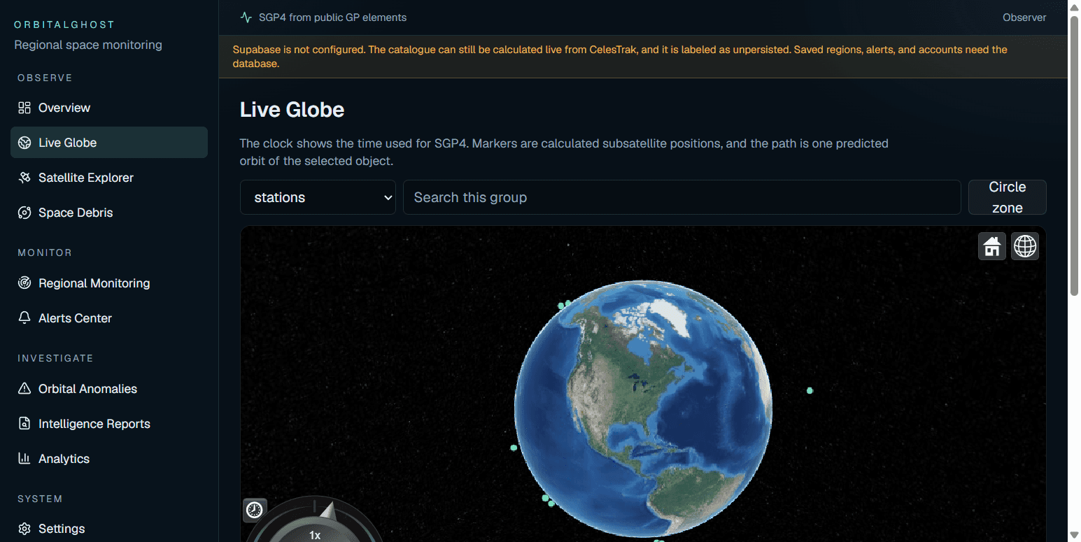
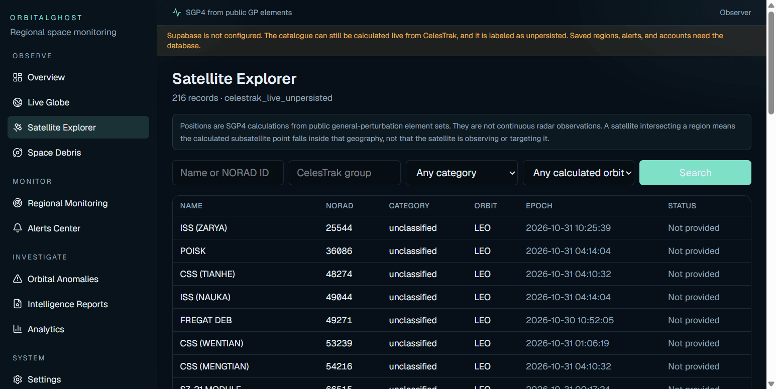
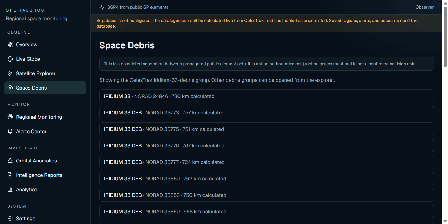
Screenshots of the live console at orbitalghost.vercel.app. Source and license: GitHub.
What you can look up
Live satellite globe
Cesium globe of SGP4 positions from public element sets
NORAD catalogue
Search satellites by name, NORAD ID, orbit class, and CelesTrak group
ISS and stations
Station group, including ISS (ZARYA), calculated as low Earth orbit
Space debris
Iridium 33 debris and other public debris catalogues
Satellite passes
Predicted subsatellite-point crossings of a region you define
Orbital anomalies
Element differences between snapshots, not automatic manoeuvre claims
satellite tracker · live satellite tracking · ISS tracker · NORAD catalogue · NORAD ID · SGP4 · TLE · orbital elements · general perturbation elements · CelesTrak · Cesium satellite globe · satellite ground track · subsatellite point · satellite pass prediction · space debris tracker · Iridium 33 debris · orbital anomaly detection · space situational awareness · low Earth orbit · geostationary satellites · GNSS satellites · satellite.js · public satellite catalogue · regional satellite monitoring · OrbitalGhost